
Central Neighbors by Public Source
A block search works from geography outward. East Baton Rouge maps can identify touching parcels and subdivision context. The assessment roll can then name an owner for each selected parcel. Neither source identifies every person who lives there. Community registries add organization boundaries and public contacts, not member rosters.
| Source | Block Detail | Access Route |
|---|---|---|
| EBR Assessor Atlas | Parcel polygons, selected map data, adjacent lots | Free map viewer |
| EBRGIS Property Lookup | Address, subdivision, business, NAICS, lot ID | Free search and data links |
| Neighborhood Association layer | Association polygons and attributes | Official EBRGIS service |
| Neighborhood Registry | Civic, HOA, watch, and merchant groups | Official registry, no member roster |
| Clerk Mortgage and Conveyance | Recorded parties, maps, restrictions, servitudes | Index, paid image, or counter |
The records describe parcels, ownership, legal ties, and groups. They do not establish friendship, family ties, or current occupancy. Keep each label with its source date.
A dated directory or newspaper can add historical names, but it still speaks only to its publication date. Current voter information has separate safeguards and deliberate address non-linkage. For present block research, the safest order is map, parcel, assessment, then a public community contact. That sequence keeps Central neighbors from being reduced to guesses based on one owner line.
The Clerk's mortgage and conveyance files add another layer when a boundary, servitude, subdivision restriction, or ownership change explains the block. Search vendor and vendee roles, then read the instrument rather than relying on the index line. A vendor is the seller and a vendee is the buyer. Recorded parties may be former owners, lenders, heirs, or entities, so their appearance still does not prove that they are present-day Central neighbors.
Map Central Neighbors Parcel by Parcel
The adjacent-parcel method begins with the known situs address, meaning the physical property address. The EBRGIS maps and apps directory routes users to the parish tools. Work one parcel at a time so an owner name never drifts to the wrong lot.
- Locate the address and confirm street spelling, subdivision, and parcel shape.
- Select each touching polygon and record its parcel or assessment ID, situs, and map date.
- Compare the selected parcel with SmartCAMA. Keep owner and mailing address separate from the physical site.
- Note shared roads, drainage, servitudes, zoning, and association polygons before drawing any block conclusion.
The full named-road method belongs in the Central street directory; the block method stops with immediate adjacent parcels.
The official map catalog shows the available parish mapping routes.
The catalog is the safer starting point when a bookmarked map has moved.
Build a small comparison worksheet for the target parcel and each lot that touches it. Record assessment ID, situs, legal description, owner result, and map date. Then note shared roads, ditches, drainage, servitudes, subdivision labels, zoning, and association polygons. These non-person features often explain why two close homes have different postal cities, ZIP codes, or access points. They also prevent a visual map boundary from being mistaken for a personal relationship.
Central Neighborhood Polygon Context
The EBRGIS Neighborhood Association service supplies polygons and attributes for registered community areas. A polygon can show that a parcel falls within or near an association area. It is not a legal parcel boundary, deed restriction, or list of Central neighbors.
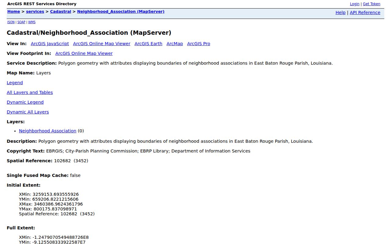
The service view identifies the layer that should be named in a focused GIS request.
Compare the association polygon with the parcel map and the organization's own public contact. Boundaries and activity can change. If a layer is missing, ask EBRGIS or Central planning for the named layer and date rather than requesting every fact about the surrounding households.
The Atlas viewer exposes feature data, export, selected or all results, and print settings. Save the map title, scale, north arrow, and update date when they appear. A screenshot without those details can be hard to interpret later. No verified live adjacent-parcel card was captured in the research, so a selected polygon should never be described as a sample Central household.
SmartCAMA can show a primary owner, ownership share, active status, physical address, mailing address, assessment values, exemptions, and the selected tax year. Those fields describe the assessment account. A homestead value can be useful context, but it is not a full test of who sleeps at the address today. Keep the assessment year visible when comparing two lots because current and prior views can differ.
Registered Groups Near Central Neighbors
The East Baton Rouge Neighborhood Registry covers more than 400 groups across the parish. Eligible types include homeowners associations, civic associations, neighborhood-watch or crime-prevention groups, and merchant associations. The page provides map and registration guidance plus a parish contact number.
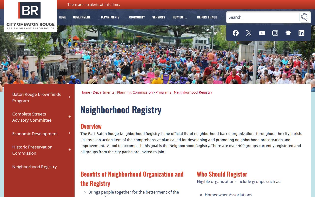
The registry offers an organization route, not the names of people inside each home.
Comite Hills HOA
Public notices, board and election details, annual meeting information, and neighborhood projects.
Hampton Village Estates
Central-area HOA contact route at P.O. Box 78172, Baton Rouge, Louisiana 70837.
FGBRCA
Parish-wide umbrella listing that includes Central Highland, Centurion Place, Comite Hills West, and Country Manor groups.
Confirm current activity and the official public contact before relying on a listing.
Comite Hills public material includes board, election, annual-meeting, and project notices. Hampton Village Estates publishes a contact route. Those resources can answer a question about a public meeting or neighborhood project. They do not authorize publication of dues records, private contact lists, or attendance. The same caution applies to watch groups and merchant associations registered with the parish.
Central Civic Contacts, Not Rosters
The Federation membership listing is useful for finding an association name and public organizational route. Its coverage is metro and parish-wide. It does not prove that every group remains active or that a named person lives in its area.
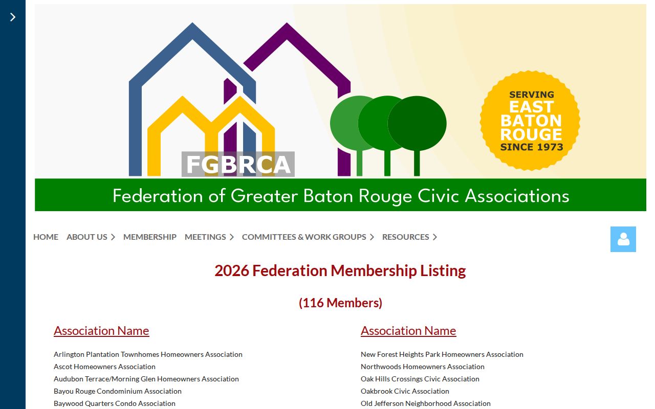
The listing should lead to a board contact, meeting, or project notice, never to a home-by-home list.
Congregations, schools, yearbooks, newsletters, and public meeting minutes may add dated community context. Membership or attendance still does not equal residence. For a road, drainage, or subdivision concern, ask the group about the public issue rather than asking who occupies nearby homes.
The Central City Chamber can provide business and community contacts, but it is not a government person directory. If an adjoining parcel is a business, use the EBRGIS business-name or NAICS field, the Secretary of State entity search, and the proper license board. A business premise next door says nothing about where an agent, owner, employee, or customer lives.
Main Street Changes Central Blocks
Road and drainage work can explain why adjacent parcels carry different access, land-use, or service clues. The Main Street 2030 update discusses Sullivan Road, flood-control work, and economic development. It is planning context, not resident data.
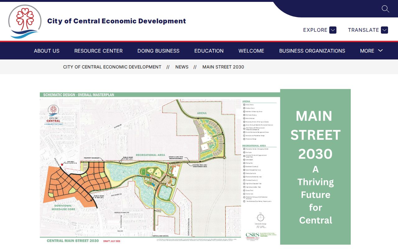
The city update helps explain a changing block without turning infrastructure files into claims about people.
Central became a city in 2005, but older land and community records remain parish-based. A pre-incorporation address may use Baton Rouge, Greenwell Springs, Pride, Comite, or an East Baton Rouge label. Preserve the wording found in the dated source.
Postal geography can differ even between nearby parcels. A Central street may return a Baton Rouge mailing city, and older service records may carry a legacy ZIP. USPS should settle delivery format for a full address, while the assessor and Clerk settle parcel and legal-record questions. Never replace one system's label with another just to make every row look consistent.
Central Neighbor Sources Compared
Official rolls and commercial neighbor tools answer different questions. The official source is slower at times, but its custodian and record meaning can be checked. Commercial compilations blend data from many dates and may repeat a stale or wrong link.
| Source Type | Strength | Limit |
|---|---|---|
| Official parcel and assessment roll | Dated parcel and ownership fields | No household roster |
| Official association registry | Group name, type, map route | No member list |
| Commercial compilation | May surface a search lead | Unknown refresh dates and mixed roles |
Confirm any useful lead with the assessor, Clerk, registrar, city, or organization that owns the record.
Commercial data can merge owner, prior resident, relative, and mailing recipient into one loose association. Official records are narrower but easier to test. The deed identifies recorded parties, the assessor identifies an assessment owner, and the registry identifies an organization. For Central neighbors, those limited meanings are a strength because they expose exactly where a claim ends.
Privacy for Central Neighbors
Louisiana voter pages deliberately limit linkage between people and addresses. The Address Confidentiality Program also protects the real address and phone of eligible relocated victims. Renters, children, guests, caregivers, and other household members are not a public parcel field. Utility and delivery data are not public neighbor directories.
A missing name may be normal. It can reflect nonownership, record timing, protected status, or a source that records a different role. Stop when the parcel, group, history, or civic question has been answered.
Louisiana Public Records Law permits inspection and copying subject to exemptions. It does not turn a broad demand for everything about nearby people into a sound request. When a city or parish layer is absent, request the specific map, date, subdivision, permit, drainage file, or public notice needed. Narrow terms reduce mistaken matches and avoid collecting facts that do not answer the block question.
If a public map or assessment field is wrong, send the exact parcel or assessment number to the proper custodian. The assessor handles assessment and mailing issues. The Clerk handles recorded instruments. Central planning handles its municipal land-use and permit files. Include the field believed to be wrong, a source document, and a request for written confirmation. Do not send more identity material than the office needs.
Lawful use. Research Central neighbors for civic contact, block history, or personal safety. Never watch, harass, intimidate, or expose a protected person.